
We all know that calculating your earthworks can be difficult and time consuming. So, any way you can speed up your earthworks takeoff and estimating is going to be useful.
Surveying a site
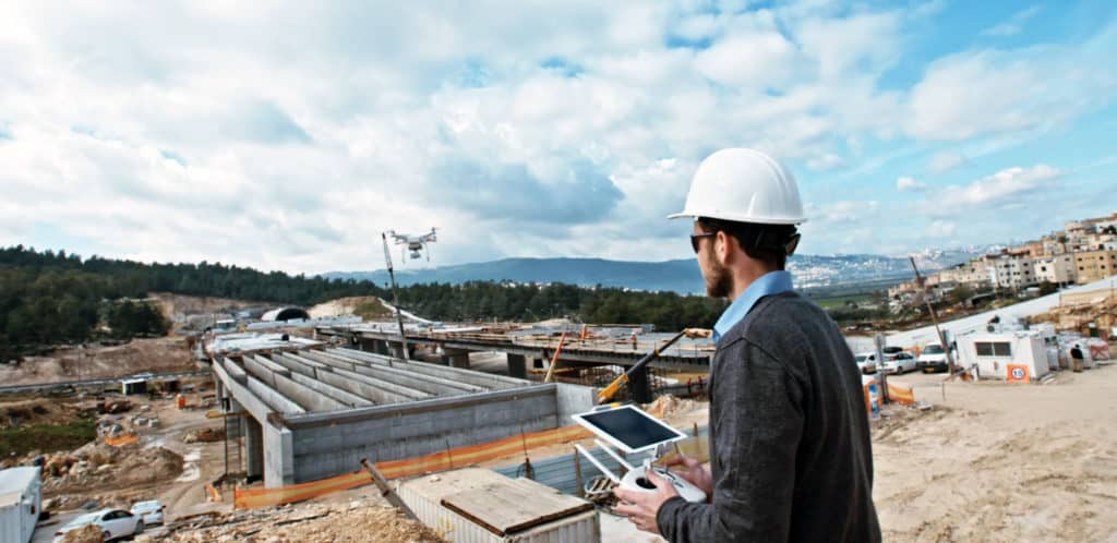
One of the most important and labour intensive elements of this, is actually surveying your site. And, surveying a site manually can take hours or even days.
And, this is where the introduction of drones to your site can dramatically change your estimating process, for the better.
How can a drone help?
A manually surveyed site might generate up to tens of thousands of data points, which are used for calculating your quantities. However, if you’ve used a drone, you can generate hundreds of thousands of data points.
You can also scan your site in minutes, not days. Using drones can save you time and give you unparalleled accuracy for calculating your earthworks quantities.
After you’ve collected your data, the next step is to process and analyse the information. To do that, you’ll need a solution that’s powerful enough to not only import your data, but allows you to manage it with ease and use it to build an accurate estimate.
This is where MudShark comes in..
Enter MudShark, the innovative earthworks software for your takeoff and estimating needs. It will change the way you estimate and make your work easier.
MudShark gives you the tools you need to read and manage complex data from your site; to perform accurate takeoffs and efficiently build your estimate. From there, you’ll have all the estimating tools you need to calculate quantities for your cut and fill.
Innovate your takeoff with MudShark, the best earthworks software.